| It started early... |
|
|
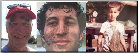
| Muds... my sediments exactly. |
Douglas R. Levin, PhD4925 Edmondson Creek RdPreston, MD 21655 Trick them into learningMaking Technology Work Phone - 757-710-1631dougthegeologist@hotmail.com
My private sector, academic, and federal government positions
have involved management, business development, program design, proposal writing, technical coordination, planning and execution
of global field programs, education/training curriculum design, data analysis, report writing, and expert testimony. I have
over thirty years of hands-on experience with a spectrum of seafloor mapping systems, including AUVs, ROVs, navigation, side
scan sonar, sub bottom profilers, single beam echosounders, multi beam, maggies, and a slew of water quality mapping systems
and ADCPs. I am adept at providing technical and non-technical presentations to constituents that might benefit from that
effort.
My project experience spans oil seep detection off of Cartagena,
SA, Cortez's treasure in Veracruz, pipeline and cable route selections in the GOMx, the Aleutians, and the Med, shipwreck
imaging in Thunder Bay, searching for evidence of NOAH's deluge in the Black Sea all the way to LIDAR mapping of the Ice Sheets
in Iceland and Greenland w/ NASA. In 2010 I advised BP and NOAA regarding strategic mapping of the benthic impacts of oil
as a result of Deepwater Horizon (MC-252) and was responsible for designing the maps that conveyed the spill dispersion to
POTUS. My management experience extends from professional consulting firms to chairing the Department of Science &
Technology at Bryant College (now Bryant University), As managing the modeling portfolio for NOAA's IOOS and
more... From 2011 until 2023 I was with the Center for Environment & Society at Washington College where I left as the
Chief Innovation Officer. I'm now a Research Associate with the University of Delaware, building buoys (Basic
Observation Buoys), and making underwater maps - that sonar thing.